Educational Trail Rakytovské plieska
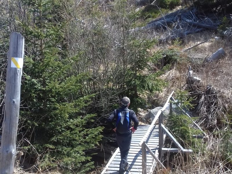
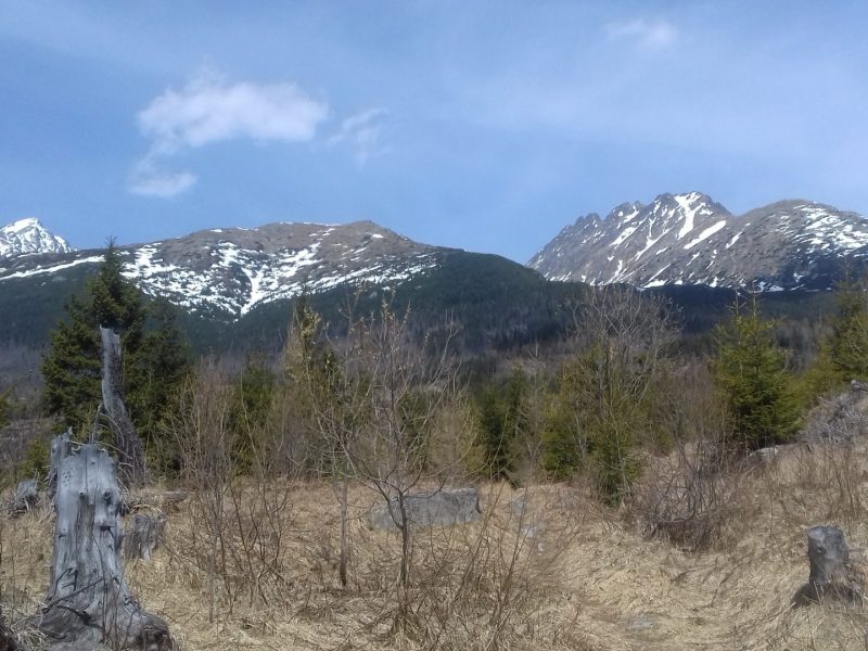
Educational trail that allows visitors to get to know the effects of the calamity on the Tatra forest and the possibilities of its restoration. The 4,5 km long walk takes about two hours. The route leads through moderately demanding mountain terrain and has five stops. You’ll have an opportunity to see and learn how the Tatra nature and people are gradually coping with the consequences of the storm in November 2004.
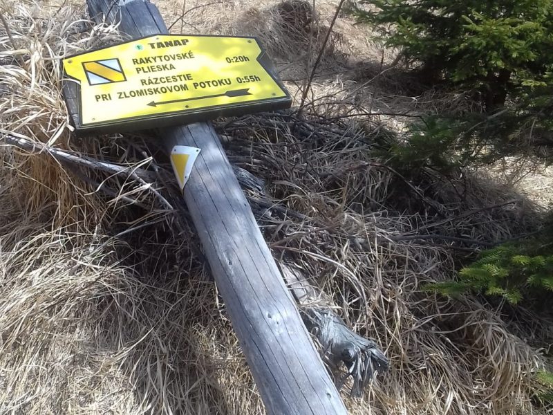
We can get to the educational trail Rakytovské plieska from Štrbské Pleso by a green marked trail ( ) or from a junction Jambrichovo, which is significantly shorter.
The trail has 5 stops:
1. Rakytovec – view of the Low Tatras and its peak Kráľova hoľa
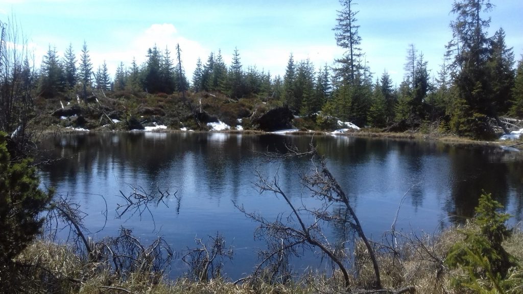
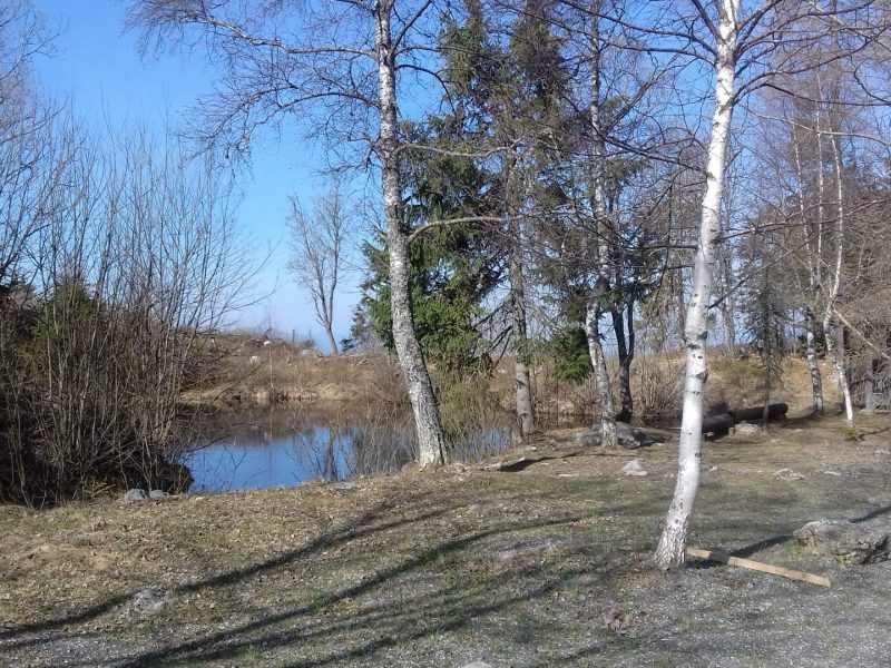
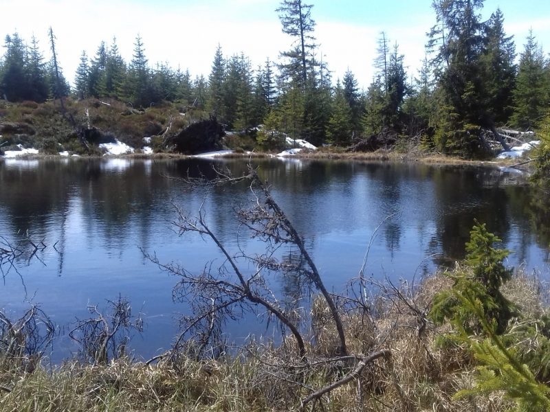
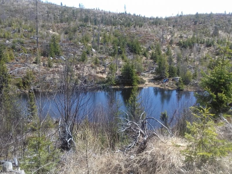
2. Rakytovské plieska
3. Development of forests after the calamity
4. Brook Furkotský potok
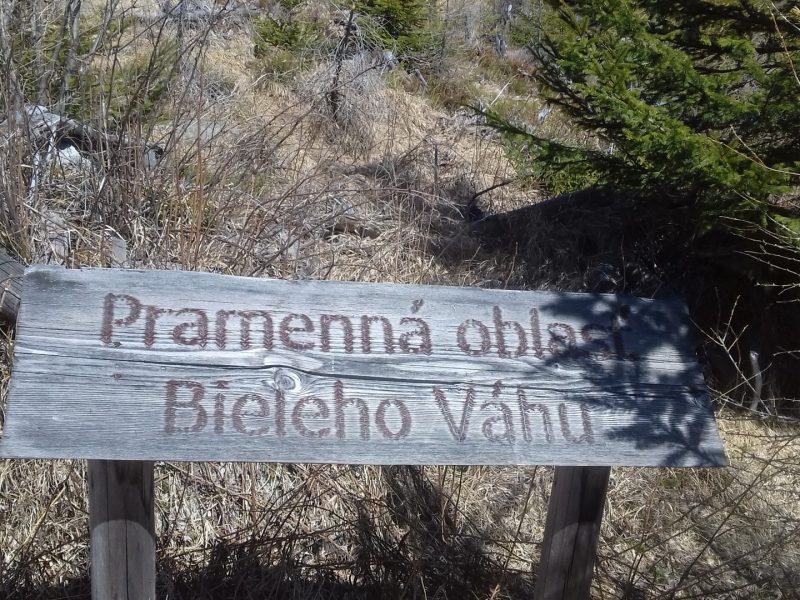
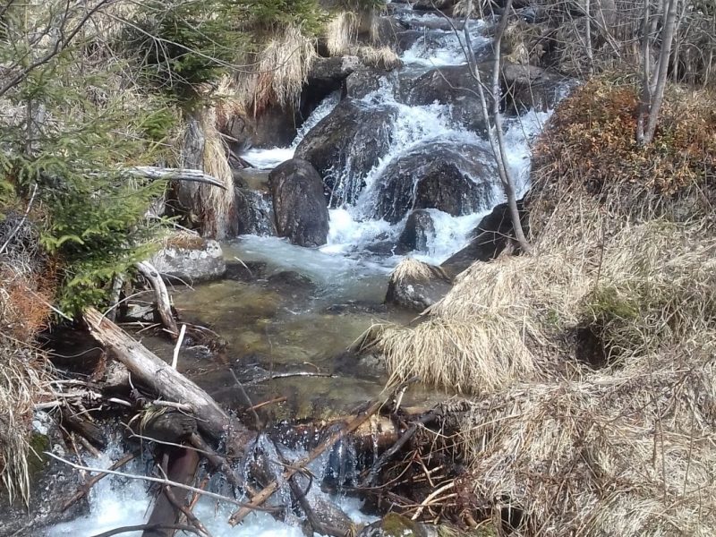
5. The source area of Biely Váh
Our recommendation: it is advantageous to come here outside the vegetation period. The trail will not be overgrown with grass and flowering, it will be easy to read. It’s also good to avoid rainy periods, as some places that we pass are around the source of river Biely Váh and thus may be excessively soaked.
📍 Štrbské Pleso
🕑 3:28 h
↔ 10,6 km
📍 Junction Jambrichovo
🕑 2:00 h
↔ 4,5 km
class=”mce_SELRES_start”>
Related places:
The picturesque easily accessible tarn Jamské pleso is located at an altitude of 1448 m. in the valley Važecká dolina. Its area is 0,67 hectares and a maximum depth of 4,2 meters. In 1936, the co-founder of the mountaineering association and the entrepreneur in tourism Gustáv Nedobrý (1893-1966) opened a private chalet at Jamské pleso. […]
Štrbské pleso is one of the most famous Tatra tarns that is accessible to the general public. It’s situated at an altitude of 1346 m. and is the second largest tarn on the Slovak side of the High Tatras. It has a surface area of 19,8 ha and the maximum depth is 20 metres (66 […]
Rezervujte si ubytovanie
