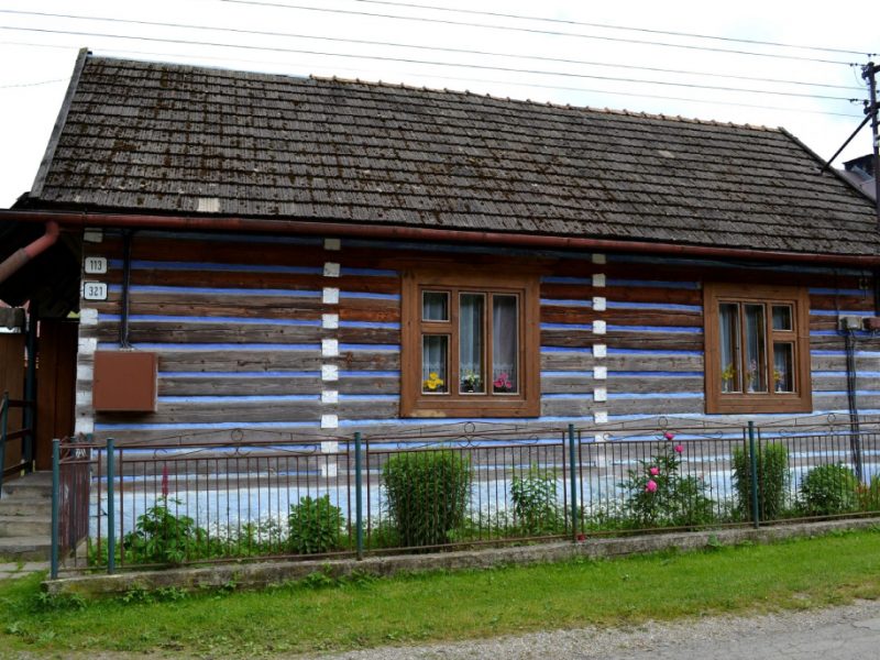
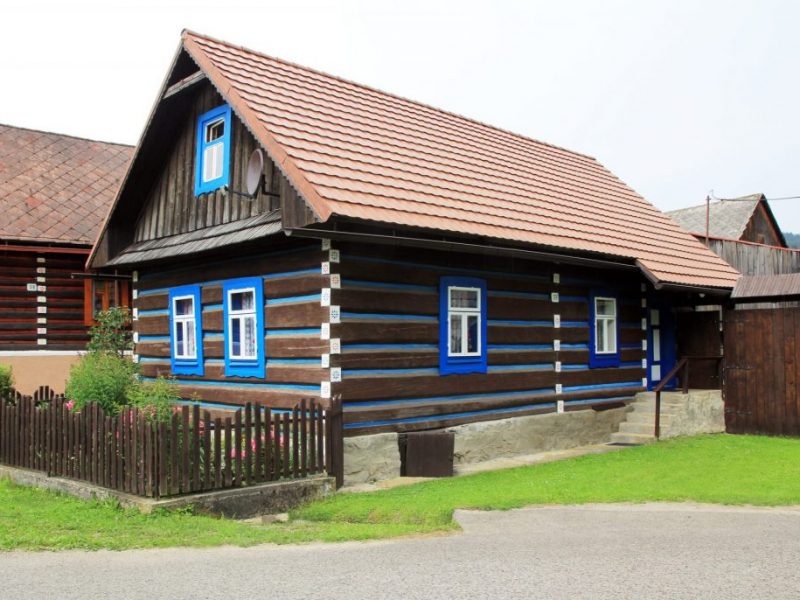
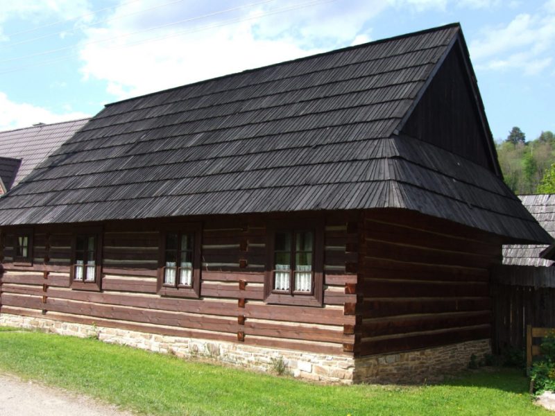
Conservation Reserve of Folk Architecture in Osturňa
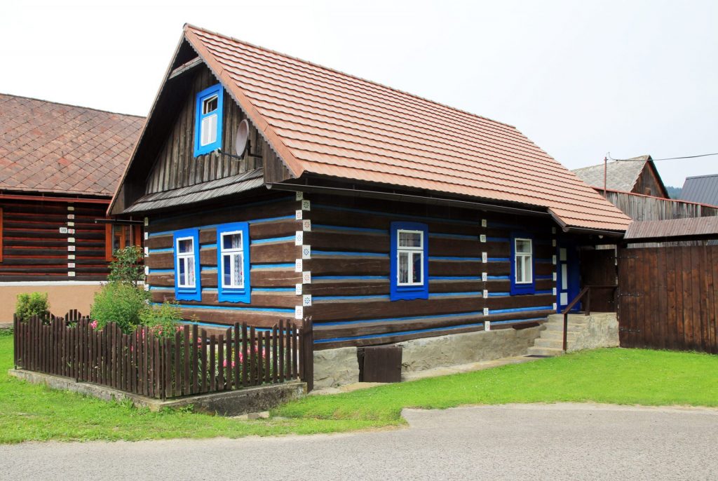
The village is located at an altitude of 600 to 900 m. in the NW part of the Spišská Magura mountain range. In the southern part of the cadastre, the Magura ridges reach about 1200 m above sea level. The village is situated on the border with Poland, in the vicinity of Tatranská Javorina, Ždiar, Malá and Veľká Franková on the Slovak side, on the Polish side with Kacwin, Nižné Lapsze, Vyšné Lapsze, Lapszanka, Repisko, Jurgov. It was the most populous village of Zamagurie, almost 8-9 km long, with a characteristic chain form of development and atrium farmsteads. The majority of the buildings have been declared a conservation reserve of folk architecture since 1979.
More information can be found HERE!
